
MapQuest Adds Surveillance Layer to Track Camera Locations
The long-standing navigation platform has updated its app to help users view the placement and direction of automated license plate readers.
 Radwan AbdulhadiEditor and technology writer
MapQuest Introduces Surveillance Layer
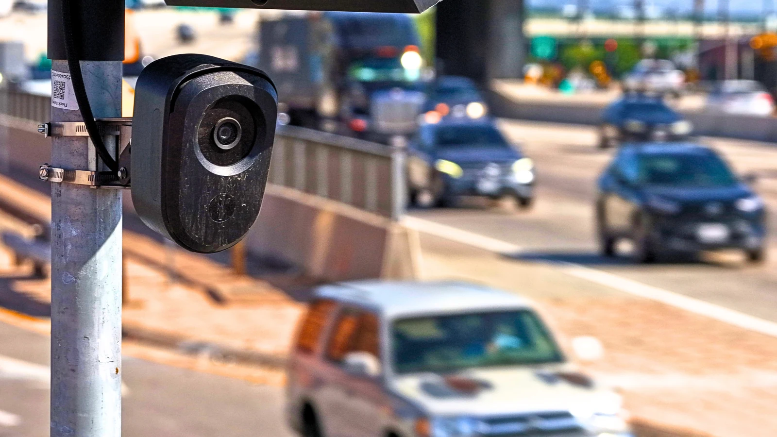
MapQuest, a long-time online mapping and navigation service that predates Google Maps, has released an app update adding a new Surveillance Layer. According to the company's announcement on Bluesky, the feature plots the locations of known license plate readers on the map, covering devices from Flock as well as other companies like Motorola Solutions (Vigilant), Genetec, Axis Communications, Axon, Leonardo (ELSAG), Neology, Rekor, PlateSmart, Ubicquia, Verkada, and other outdoor surveillance brands.
While it remains unclear how the app developers compiled all of this data, the system shares similarities with a Flock Surveillance Map previously built by a security researcher using Flock’s own data. Beyond simply showing each camera's location, the layer also indicates the direction it faces, enabling individuals who wish to avoid automatic license plate recognition (ALPR) systems to navigate around known devices when possible.
Privacy Concerns Versus Public Safety
The expansion of automatic license plate readers has sparked significant public debate. Cities and police forces frequently argue that such surveillance systems help keep communities safe by making it easier to track potential criminals. However, critics counter that the technology represents a massive invasion of privacy, pointing to multiple incidents involving police officers abusing the system and administrative mistakes.
Among these incidents, administrative errors have even resulted in the detention of an innocent car reviewer. Concerns are further amplified when these localized cameras connect to wider federal or national systems, allowing police officers from different cities or states to track vehicles without a warrant. Such issues have prompted some cities, responding to constituent complaints, to begin removing the cameras altogether.
Broader Context and Limitations
The reaction of law enforcement agencies to consumer mapping tools displaying surveillance infrastructure remains unpredictable. Many police departments previously voiced complaints when Waze released a 2015 update that allowed users to report the locations of police officers.
While MapQuest's new feature can assist users in bypassing known ALPR locations, it has practical limitations. If a destination features heavy camera coverage, motorists will have little choice but to pass through a monitoring zone and be detected, barring local intervention such as someone placing a cover over the device.
Recent Public Interest in MapQuest
The mapping platform recently experienced a surge in visibility and downloads across app stores. Following a refusal to rename Lake Ontario—a change adopted by other navigation services—MapQuest gained substantial public attention and climbed into the ranks of top-downloaded applications.
As the platform continues to roll out features like the Surveillance Layer, users seeking alternatives for mapping and privacy-conscious navigation are taking a fresh look at the legacy service.
Sources
- Tom's HardwareFlock camera locations revealed on MapQuest’s new Surveillance Layer
Continue chronologically

Related stories
MapQuest Adds Layer Showing Neighborhood Flock Cameras
MapQuest introduces a new neighborhood layer that displays the locations of known Flock cameras and other outdoor surveillance equipment.
Proton Hosts Flock Camera Map Amid Cease-and-Desist Threats
Privacy-focused company Proton AG has stepped in to host the Flock camera map on Swiss servers, defying legal threats against its creator.
Huntington Approves Flock Surveillance Despite Backlash
Huntington, West Virginia city council narrowly approves a contract for Flock automated license plate reader cameras after a tense seven-hour public debate.

Surveillance Company Flock Cuts Staff Amid Growing Privacy Backlash
Surveillance camera maker Flock is reducing its workforce by 18% as the company faces growing privacy backlash, system misuse, and canceled contracts.