
MapQuest Adds Layer Showing Neighborhood Flock Cameras
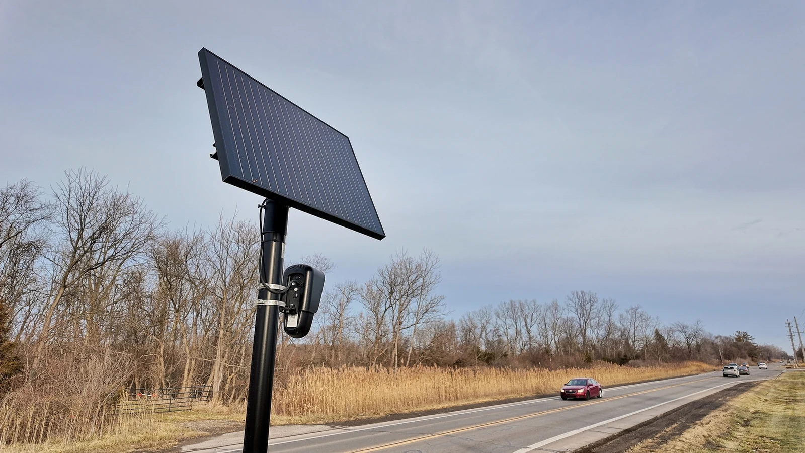
MapQuest has expanded its mapping service with a new layer designed to reveal the locations of known outdoor surveillance cameras, including Flock safety systems, across local neighborhoods.
 Radwan AbdulhadiEditor and technology writer
Recent Feature Expansion and Unexpected Popularity
Over the past couple of months, MapQuest has experienced a notable surge in attention and popularity, driven in part by its stance on geographic naming disputes after it refused to rename Lake Ontario compared to shifts seen on Google Maps and Apple Maps.
Alongside these developments, the platform has rolled out several long-overdue additions that modern mapping users have requested for years. These upgrades include comprehensive Android Auto support and public transit directions, transforming the legacy software into a more competitive tool.
Introducing the Outdoor Surveillance Camera Layer
Building upon its recent momentum, the platform has introduced another handy tool aimed at geographic transparency. Users can now access a dedicated map layer designed to reveal the precise positions of known outdoor surveillance cameras operating within local communities.
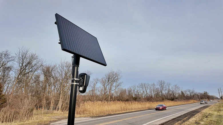
This monitoring feature specifically highlights where Flock cameras are situated across neighborhoods and roadways. Beyond Flock devices, the data overlay encompasses hardware supplied by various other major industry providers and security infrastructure manufacturers.
Comprehensive Vendor Coverage and Interface Integration
The newly added surveillance tracking layer is not limited to a single brand. In addition to Flock safety devices, the mapping interface displays hardware locations belonging to Motorola Solutions through its Vigilant division, Genetec, Axis Communications, and Axon.
Furthermore, the directory of tracked equipment includes technology from Leonardo operating under ELSAG, Neology, Rekor, PlateSmart, Ubicquia, and Verkada. To ensure simplicity, this privacy-focused layer is placed right alongside existing options for viewing live traffic conditions and unexpected incidents, allowing everyday users to locate it quickly within the mobile application layout.
Humorous Marketing and Public Awareness Implications
To announce the surveillance visibility update to the public, the company released a short promotional video. The marketing clip was cleverly set to Rockwell's classic pop track "Somebody's Watching Me," matching the theme of widespread electronic monitoring.
Industry observers note that while drivers may find it difficult to completely avoid passing these monitoring devices during routine daily commutes or standard travel routes, the layer serves a deeper analytical purpose. It effectively illustrates just how pervasive outdoor monitoring networks have become in residential and commercial districts.
Utility for Neighborhood Advocacy and Privacy Groups
For community organizers, privacy advocates, and residents who are actively working to rid their neighborhoods of automated license plate readers and surveillance cams, the updated mapping software offers concrete geographic data.
By visualizing the concentration of recording hardware across local areas, the feature supplies useful information for local discussions, policy debates, and grassroots advocacy efforts focused on community surveillance transparency.
Sources
- EngadgetMapQuest will now show you where Flock cameras are in your neighborhood
Continue chronologically


Related stories
MapQuest Adds Surveillance Layer to Track Camera Locations
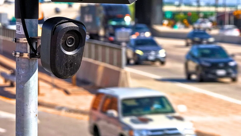
MapQuest has released a new app update introducing a Surveillance Layer to map known license plate readers from Flock and other manufacturers.
Proton Hosts Flock Camera Map Amid Cease-and-Desist Threats
Privacy-focused company Proton AG has stepped in to host the Flock camera map on Swiss servers, defying legal threats against its creator.
Huntington Approves Flock Surveillance Despite Backlash
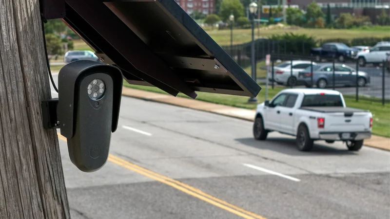
Huntington, West Virginia city council narrowly approves a contract for Flock automated license plate reader cameras after a tense seven-hour public debate.

Surveillance Company Flock Cuts Staff Amid Growing Privacy Backlash
Surveillance camera maker Flock is reducing its workforce by 18% as the company faces growing privacy backlash, system misuse, and canceled contracts.